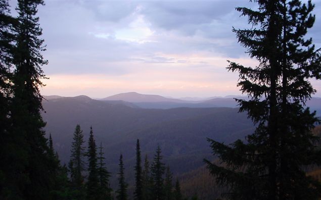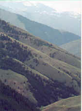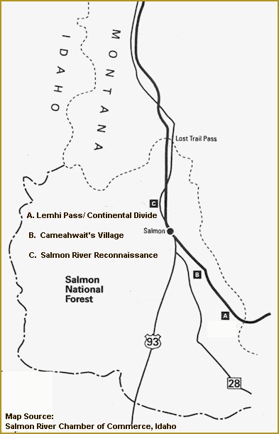
A. Lemhi Pass/Continental Divide: Lewis crossed the Continental Divide on
August 12, 1805
 << View from Lemhi Pass
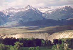
B. Cameahwait's Village ( Tendoy Field): The village was
located at two different places, both in present day Lemhi County, the
first 7 miles north of Tendoy on the east bank of the Lemhi River.
The second location was about 3 miles to the south and upstream on the
same bank of the Lemhi, both only accessible on foot. Both sites
are unmarked and are on private land. The village was the base
camp for the Clark group reconnaissance of the Salmon River. They
purchased food and horses for the trek across the Lolo Trail and
recruited Old Toby as a guide for the Expedition. It was here that
Captain Clark gave ornithologists the first description of Clark's
Nutcracker, a crow-sized bird with flashing back, white and gray
coloration, still frequently seen in the area.
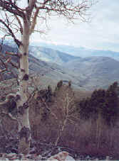
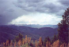
C. Salmon River
Reconnaissance by Captain Clark